
Equal Earth が保つもの
球面を平面にすると何かが変わります。Equal Earth は相対的な面積を保ち、国の大きさ比較に役立ちますが、形・距離・方向をすべて保つことはできません。地球儀の端では形が圧縮されます。知りたいことに合った地図を選びましょう。

地図が変えるもの
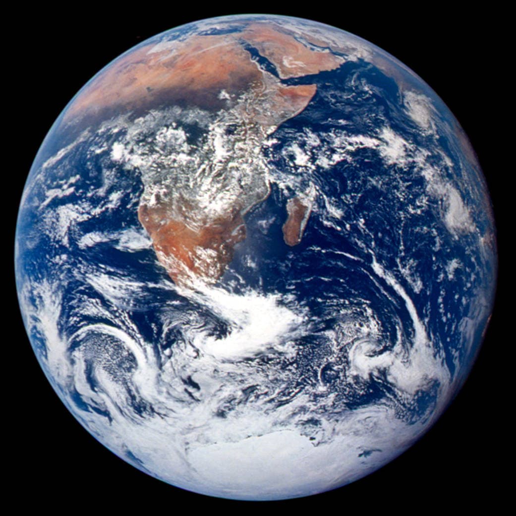
Equal Earth は2018年に発表されました。同じ実面積を同じ縮尺の平面地図で同じ広さに表しますが、形、距離、方向は変わります。地球儀の端では国が圧縮されて見えます。比較する国を中央に移して確認してください。
出典: PROJ · Equal Earth (Šavrič, Patterson & Jenny, 2018) · Esri ArcUser · Equal Earth design background (Winter 2019) · Šavrič, Jenny & Patterson · Equal Earth: design, adoption and impact (2019) · Library of Congress · Geospatial reference data: projection properties · D3 · Geographic projections · Natural Earth · Dataset scales
Sources and further reading
Sources checked:
- PROJ · Equal Earth (Šavrič, Patterson & Jenny, 2018) ↗
- Esri ArcUser · Equal Earth design background (Winter 2019) ↗
- Šavrič, Jenny & Patterson · Equal Earth: design, adoption and impact (2019) ↗
- Library of Congress · Geospatial reference data: projection properties ↗
- D3 · Geographic projections ↗
- Natural Earth · Dataset scales ↗
Related stories
グリーンランドが大きく見える理由
メルカトル図法は極に近い地域を引き伸ばします。そのためグリーンランドは赤道付近の国に比べ、面積以上に大きく見えます。Equal Earth でグリーンランドとオーストラリアを探し、輪郭を比べてみましょう。航海に便利な地図が、面積比較にも適しているとは限りません。
Why a country looks smaller at the globe’s edge
A globe avoids the familiar rectangular world, but its screen image still compresses the edge. Separate spherical area from visible footprint.
Five questions before sharing a “true world map”
Projection, zoom, viewpoint, source detail and the meaning of area all affect how you read a map. Check these before sharing a comparison screenshot.