
Što Equal Earth čuva?
Pretvaranje kugle u ravninu mijenja njezina svojstva. Equal Earth čuva relativne površine, ali ne sve oblike, udaljenosti i smjerove. Na rubu globusa oblici se stišću. Odaberite prikaz prema svojem pitanju.

Što karta mijenja
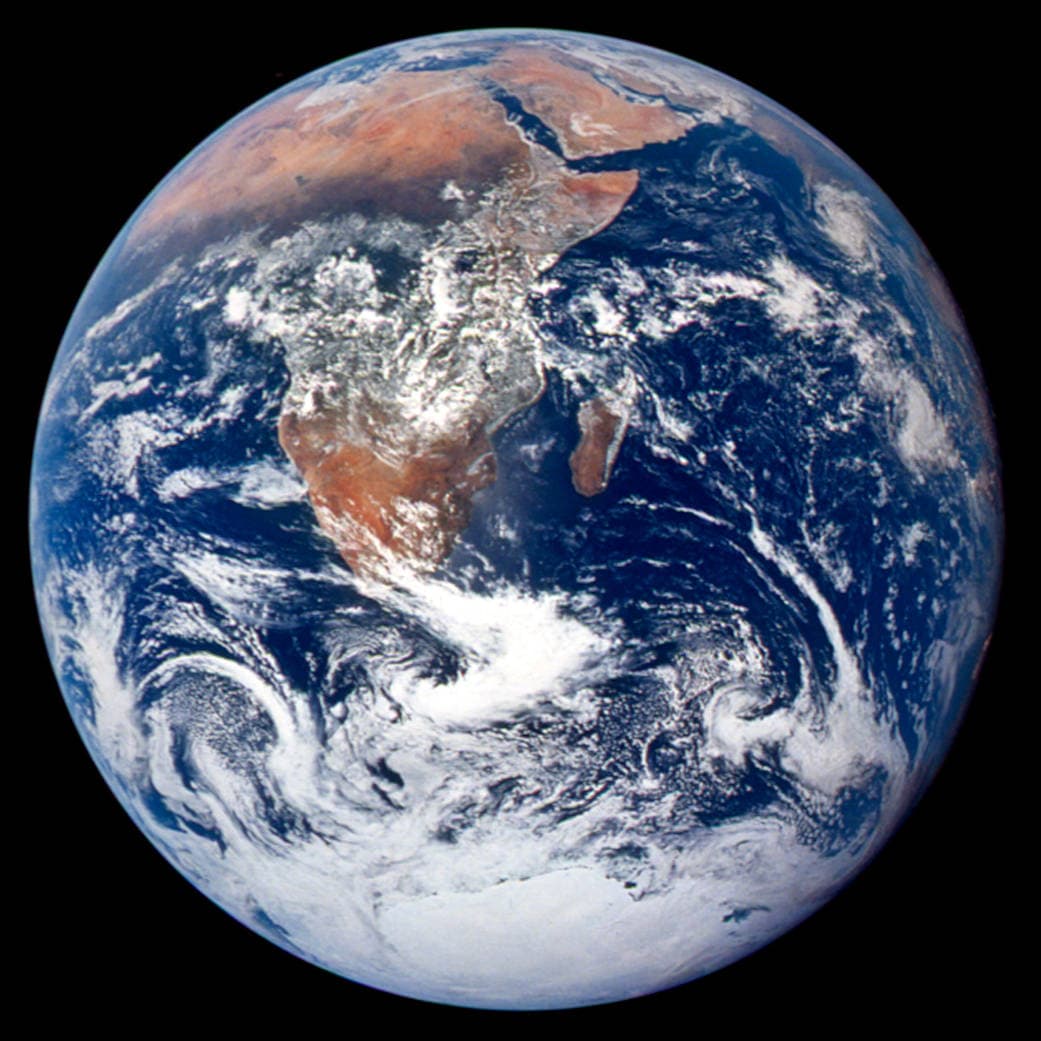
Equal Earth predstavljena je 2018. Jednake stvarne površine zauzimaju jednake površine u istom mjerilu. Oblici, udaljenosti i smjerovi ipak se mijenjaju. Uz rub globusa države izgledaju stisnuto zbog perspektive. Prije usporedbe pomaknite ih u sredinu.
Izvori: PROJ · Equal Earth (Šavrič, Patterson & Jenny, 2018) · Esri ArcUser · Equal Earth design background (Winter 2019) · Šavrič, Jenny & Patterson · Equal Earth: design, adoption and impact (2019) · Library of Congress · Geospatial reference data: projection properties · D3 · Geographic projections · Natural Earth · Dataset scales
Sources and further reading
Sources checked:
- PROJ · Equal Earth (Šavrič, Patterson & Jenny, 2018) ↗
- Esri ArcUser · Equal Earth design background (Winter 2019) ↗
- Šavrič, Jenny & Patterson · Equal Earth: design, adoption and impact (2019) ↗
- Library of Congress · Geospatial reference data: projection properties ↗
- D3 · Geographic projections ↗
- Natural Earth · Dataset scales ↗
Related stories
Zašto Grenland izgleda tako velik?
Mercatorove karte rastežu područja blizu polova. Grenland zato izgleda prevelik u odnosu na države uz ekvator. Usporedite Grenland i Australiju na Equal Earthu. Karta korisna za navigaciju nije nužno prikladna za usporedbu površina.
Why a country looks smaller at the globe’s edge
A globe avoids the familiar rectangular world, but its screen image still compresses the edge. Separate spherical area from visible footprint.
Five questions before sharing a “true world map”
Projection, zoom, viewpoint, source detail and the meaning of area all affect how you read a map. Check these before sharing a comparison screenshot.