
Equal Earth 保留了什么
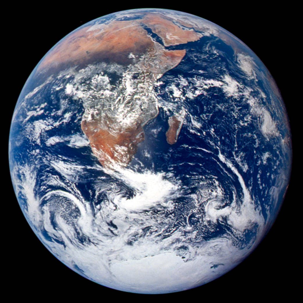
把球面展开成平面必然改变某些特征。Equal Earth 保留相对面积,适合比较国家大小,但不能同时保留所有形状、距离和方向。切换到地球仪,观察边缘国家的压缩。根据问题选择地图,而不是期待一张地图解释一切。

地图改变了什么
Equal Earth于2018年发表,让相同实际面积在同一比例尺的平面图上占据相同面积,但形状、距离和方向仍会改变。地球仪边缘的国家看起来受压缩,是观察角度造成的。比较前请把国家移到中央。
来源: PROJ · Equal Earth (Šavrič, Patterson & Jenny, 2018) · Esri ArcUser · Equal Earth design background (Winter 2019) · Šavrič, Jenny & Patterson · Equal Earth: design, adoption and impact (2019) · Library of Congress · Geospatial reference data: projection properties · D3 · Geographic projections · Natural Earth · Dataset scales
Sources and further reading
Sources checked:
- PROJ · Equal Earth (Šavrič, Patterson & Jenny, 2018) ↗
- Esri ArcUser · Equal Earth design background (Winter 2019) ↗
- Šavrič, Jenny & Patterson · Equal Earth: design, adoption and impact (2019) ↗
- Library of Congress · Geospatial reference data: projection properties ↗
- D3 · Geographic projections ↗
- Natural Earth · Dataset scales ↗
Related stories
格陵兰为什么看起来那么大?
墨卡托地图会放大靠近两极的地区。因此,与赤道附近的国家相比,格陵兰可能显得比实际更大。在 Equal Earth 上搜索格陵兰和澳大利亚,比较它们的轮廓。熟悉的地图是否影响了你的判断?适合航行的地图未必适合比较面积。
Why a country looks smaller at the globe’s edge
A globe avoids the familiar rectangular world, but its screen image still compresses the edge. Separate spherical area from visible footprint.
Five questions before sharing a “true world map”
Projection, zoom, viewpoint, source detail and the meaning of area all affect how you read a map. Check these before sharing a comparison screenshot.