
Kaj ohranja Equal Earth?
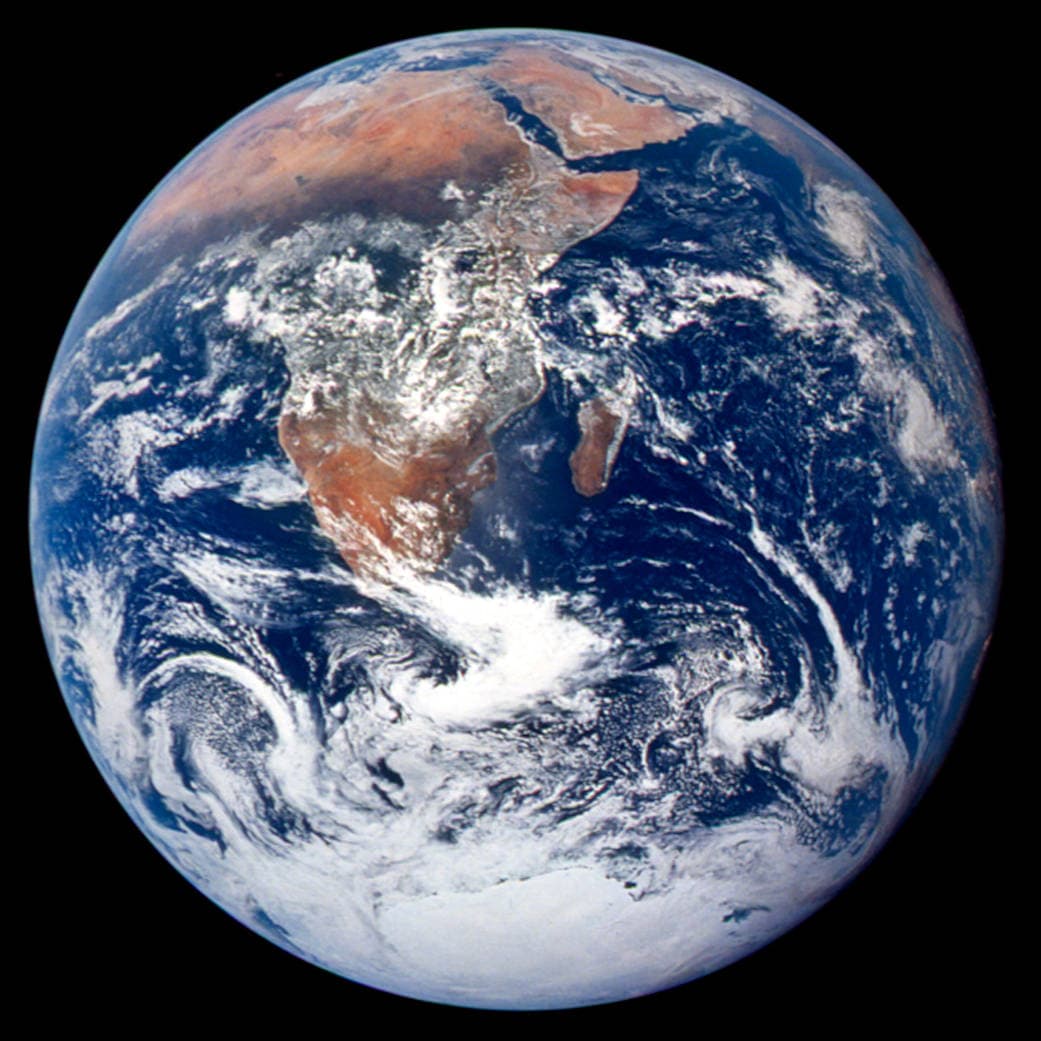
Pretvorba krogle v ravnino spremeni njene lastnosti. Equal Earth ohranja relativne površine, ne pa vseh oblik, razdalj in smeri. Ob robu globusa so oblike stisnjene. Izberite pogled glede na vprašanje.

Kaj spremeni zemljevid
Equal Earth je bila predstavljena leta 2018. Enake dejanske površine zasedejo enake površine v istem merilu. Oblike, razdalje in smeri se vseeno spreminjajo. Ob robu globusa države zaradi perspektive delujejo stisnjene. Pred primerjavo jih premaknite na sredino.
Viri: PROJ · Equal Earth (Šavrič, Patterson & Jenny, 2018) · Esri ArcUser · Equal Earth design background (Winter 2019) · Šavrič, Jenny & Patterson · Equal Earth: design, adoption and impact (2019) · Library of Congress · Geospatial reference data: projection properties · D3 · Geographic projections · Natural Earth · Dataset scales
Sources and further reading
Sources checked:
- PROJ · Equal Earth (Šavrič, Patterson & Jenny, 2018) ↗
- Esri ArcUser · Equal Earth design background (Winter 2019) ↗
- Šavrič, Jenny & Patterson · Equal Earth: design, adoption and impact (2019) ↗
- Library of Congress · Geospatial reference data: projection properties ↗
- D3 · Geographic projections ↗
- Natural Earth · Dataset scales ↗
Related stories
Zakaj je Grenlandija videti tako velika?
Mercatorjevi zemljevidi raztegnejo območja pri polih. Grenlandija zato deluje prevelika glede na države ob ekvatorju. Primerjajte Grenlandijo in Avstralijo na Equal Earth. Zemljevid za navigacijo ni nujno primeren za primerjavo površin.
Why a country looks smaller at the globe’s edge
A globe avoids the familiar rectangular world, but its screen image still compresses the edge. Separate spherical area from visible footprint.
Five questions before sharing a “true world map”
Projection, zoom, viewpoint, source detail and the meaning of area all affect how you read a map. Check these before sharing a comparison screenshot.