
Equal Earth รักษาอะไรไว้?
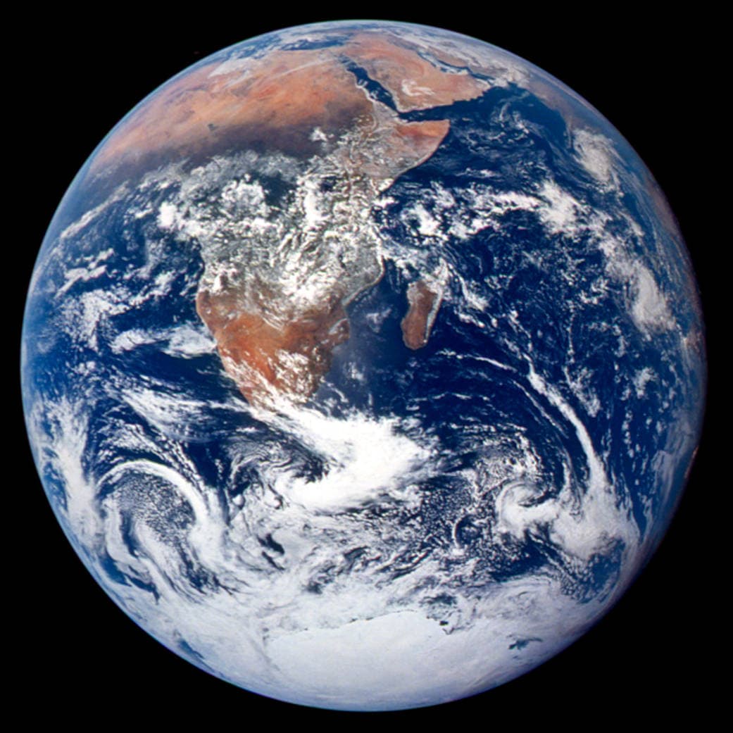
การแผ่ทรงกลมเป็นพื้นราบย่อมเปลี่ยนคุณสมบัติบางอย่าง Equal Earth รักษาสัดส่วนพื้นที่ แต่ไม่ได้รักษารูปร่าง ระยะทาง และทิศทางทั้งหมด รูปร่างบริเวณขอบลูกโลกจะถูกบีบ เลือกมุมมองให้เหมาะกับคำถาม

แผนที่เปลี่ยนอะไร
Equal Earth เปิดตัวในปี 2018 พื้นที่จริงที่เท่ากันกินเนื้อที่เท่ากันบนแผนที่มาตราส่วนเดียวกัน แต่รูปร่าง ระยะทาง และทิศทางยังเปลี่ยน ประเทศใกล้ขอบลูกโลกดูแคบลงเพราะมุมมอง ควรย้ายมาอยู่ตรงกลางก่อนเปรียบเทียบ
แหล่งข้อมูล: PROJ · Equal Earth (Šavrič, Patterson & Jenny, 2018) · Esri ArcUser · Equal Earth design background (Winter 2019) · Šavrič, Jenny & Patterson · Equal Earth: design, adoption and impact (2019) · Library of Congress · Geospatial reference data: projection properties · D3 · Geographic projections · Natural Earth · Dataset scales
Sources and further reading
Sources checked:
- PROJ · Equal Earth (Šavrič, Patterson & Jenny, 2018) ↗
- Esri ArcUser · Equal Earth design background (Winter 2019) ↗
- Šavrič, Jenny & Patterson · Equal Earth: design, adoption and impact (2019) ↗
- Library of Congress · Geospatial reference data: projection properties ↗
- D3 · Geographic projections ↗
- Natural Earth · Dataset scales ↗
Related stories
ทำไมกรีนแลนด์จึงดูใหญ่?
แผนที่เมอร์เคเตอร์ขยายบริเวณใกล้ขั้วโลก กรีนแลนด์จึงดูใหญ่เกินจริงเมื่อเทียบกับประเทศใกล้เส้นศูนย์สูตร ลองเปรียบเทียบกรีนแลนด์กับออสเตรเลียใน Equal Earth แผนที่ที่เหมาะกับการเดินเรืออาจไม่เหมาะกับการเปรียบเทียบพื้นที่
Why a country looks smaller at the globe’s edge
A globe avoids the familiar rectangular world, but its screen image still compresses the edge. Separate spherical area from visible footprint.
Five questions before sharing a “true world map”
Projection, zoom, viewpoint, source detail and the meaning of area all affect how you read a map. Check these before sharing a comparison screenshot.