
Hvad bevarer Equal Earth?
Når en kugle gøres flad, ændres noget. Equal Earth bevarer relative arealer, men ikke alle former, afstande og retninger. På globussens kant presses former sammen. Vælg den visning, der passer til dit spørgsmål.

Hvad kortet ændrer
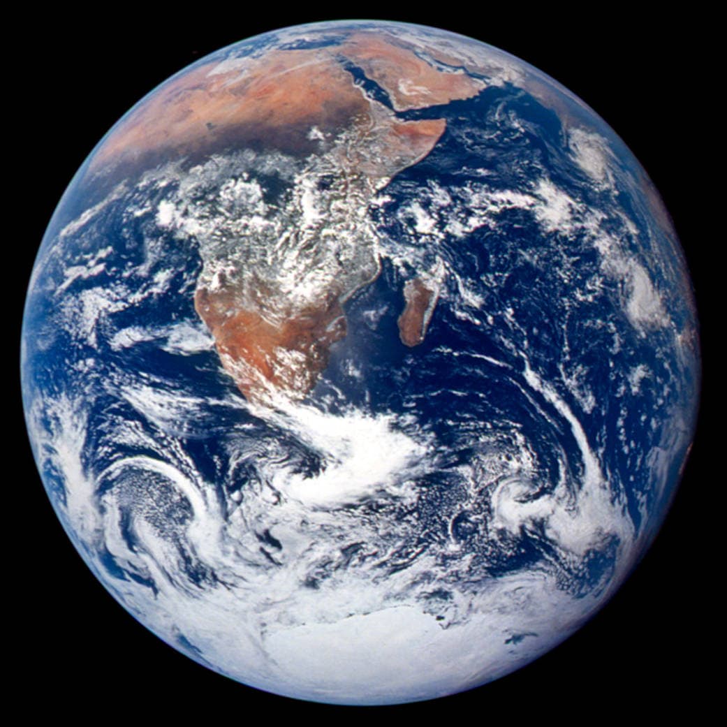
Equal Earth blev præsenteret i 2018. Lige store virkelige arealer optager lige store kortflader i samme målestok. Former, afstande og retninger ændres stadig. Lande ved globussens kant ser sammenpressede ud på grund af perspektivet. Flyt dem til midten før sammenligningen.
Kilder: PROJ · Equal Earth (Šavrič, Patterson & Jenny, 2018) · Esri ArcUser · Equal Earth design background (Winter 2019) · Šavrič, Jenny & Patterson · Equal Earth: design, adoption and impact (2019) · Library of Congress · Geospatial reference data: projection properties · D3 · Geographic projections · Natural Earth · Dataset scales
Sources and further reading
Sources checked:
- PROJ · Equal Earth (Šavrič, Patterson & Jenny, 2018) ↗
- Esri ArcUser · Equal Earth design background (Winter 2019) ↗
- Šavrič, Jenny & Patterson · Equal Earth: design, adoption and impact (2019) ↗
- Library of Congress · Geospatial reference data: projection properties ↗
- D3 · Geographic projections ↗
- Natural Earth · Dataset scales ↗
Related stories
Hvorfor ser Grønland så stort ud?
Mercatorkort strækker områder nær polerne. Derfor ser Grønland for stort ud i forhold til lande nær ækvator. Sammenlign Grønland og Australien på Equal Earth. Et kort, der er nyttigt til navigation, er ikke nødvendigvis godt til at sammenligne arealer.
Why a country looks smaller at the globe’s edge
A globe avoids the familiar rectangular world, but its screen image still compresses the edge. Separate spherical area from visible footprint.
Five questions before sharing a “true world map”
Projection, zoom, viewpoint, source detail and the meaning of area all affect how you read a map. Check these before sharing a comparison screenshot.