
Mitä Equal Earth säilyttää?
Pallon litistäminen muuttaa sen ominaisuuksia. Equal Earth säilyttää suhteelliset pinta-alat, mutta ei kaikkia muotoja, etäisyyksiä ja suuntia. Maapallon reunalla muodot puristuvat. Valitse näkymä kysymyksesi mukaan.

Mitä kartta muuttaa
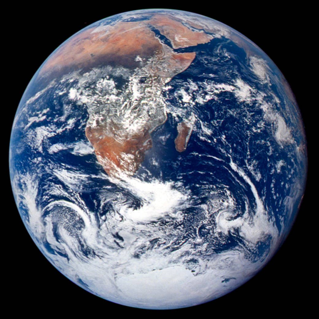
Equal Earth julkaistiin vuonna 2018. Yhtä suuret todelliset alat vievät yhtä suuren kartta-alan samalla mittakaavalla. Muodot, etäisyydet ja suunnat silti muuttuvat. Maapallonäkymän reunalla maat näyttävät perspektiivin vuoksi litistyneiltä. Siirrä ne keskelle ennen vertailua.
Lähteet: PROJ · Equal Earth (Šavrič, Patterson & Jenny, 2018) · Esri ArcUser · Equal Earth design background (Winter 2019) · Šavrič, Jenny & Patterson · Equal Earth: design, adoption and impact (2019) · Library of Congress · Geospatial reference data: projection properties · D3 · Geographic projections · Natural Earth · Dataset scales
Sources and further reading
Sources checked:
- PROJ · Equal Earth (Šavrič, Patterson & Jenny, 2018) ↗
- Esri ArcUser · Equal Earth design background (Winter 2019) ↗
- Šavrič, Jenny & Patterson · Equal Earth: design, adoption and impact (2019) ↗
- Library of Congress · Geospatial reference data: projection properties ↗
- D3 · Geographic projections ↗
- Natural Earth · Dataset scales ↗
Related stories
Miksi Grönlanti näyttää niin suurelta?
Mercatorin kartat venyttävät napojen lähellä olevia alueita. Grönlanti näyttää siksi liian suurelta päiväntasaajan maihin nähden. Vertaa Grönlantia ja Australiaa Equal Earthissa. Navigointiin sopiva kartta ei välttämättä sovi pinta-alojen vertailuun.
Why a country looks smaller at the globe’s edge
A globe avoids the familiar rectangular world, but its screen image still compresses the edge. Separate spherical area from visible footprint.
Five questions before sharing a “true world map”
Projection, zoom, viewpoint, source detail and the meaning of area all affect how you read a map. Check these before sharing a comparison screenshot.