
Equal Earth چه چیزی را حفظ میکند؟
تبدیل کره به صفحه برخی ویژگیها را تغییر میدهد. Equal Earth مساحتهای نسبی را حفظ میکند، نه همهٔ شکلها، فاصلهها و جهتها را. در لبهٔ کره شکلها فشرده میشوند. نمایش را متناسب با پرسش خود انتخاب کنید.

نقشه چه چیزی را تغییر میدهد
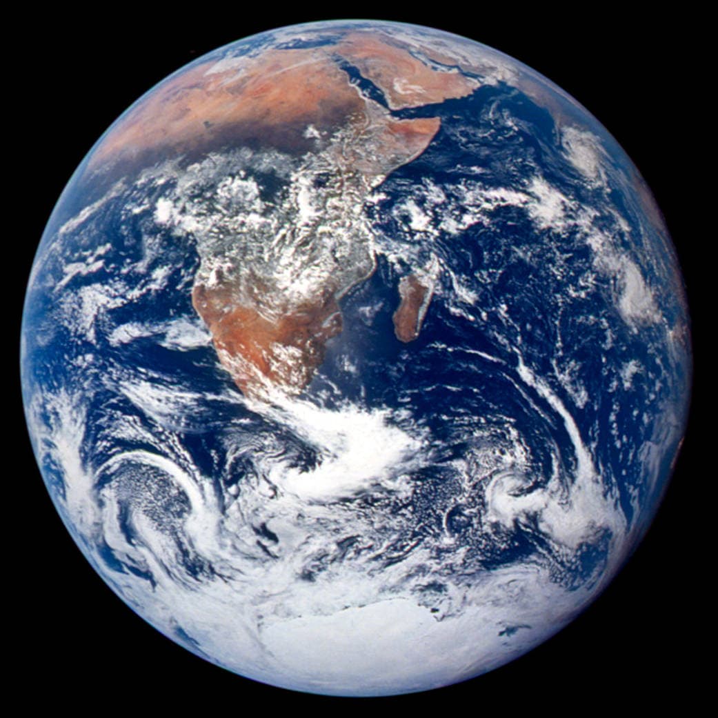
Equal Earth در سال 2018 معرفی شد. مساحتهای واقعی برابر در یک مقیاس، مساحتهای نقشه برابر دارند، اما شکلها، فاصلهها و جهتها تغییر میکنند. کشورها در لبه کره بهسبب پرسپکتیو فشرده دیده میشوند. پیش از مقایسه آنها را به مرکز بیاورید.
منابع: PROJ · Equal Earth (Šavrič, Patterson & Jenny, 2018) · Esri ArcUser · Equal Earth design background (Winter 2019) · Šavrič, Jenny & Patterson · Equal Earth: design, adoption and impact (2019) · Library of Congress · Geospatial reference data: projection properties · D3 · Geographic projections · Natural Earth · Dataset scales
Sources and further reading
Sources checked:
- PROJ · Equal Earth (Šavrič, Patterson & Jenny, 2018) ↗
- Esri ArcUser · Equal Earth design background (Winter 2019) ↗
- Šavrič, Jenny & Patterson · Equal Earth: design, adoption and impact (2019) ↗
- Library of Congress · Geospatial reference data: projection properties ↗
- D3 · Geographic projections ↗
- Natural Earth · Dataset scales ↗
Related stories
چرا گرینلند اینقدر بزرگ دیده میشود؟
نقشههای مرکاتور نواحی نزدیک قطبها را کشیده نشان میدهند. به همین دلیل گرینلند در مقایسه با کشورهای نزدیک استوا بیش از اندازه بزرگ به نظر میرسد. گرینلند و استرالیا را در Equal Earth مقایسه کنید. نقشهٔ مناسب دریانوردی لزوماً برای مقایسهٔ مساحت مناسب نیست.
Why a country looks smaller at the globe’s edge
A globe avoids the familiar rectangular world, but its screen image still compresses the edge. Separate spherical area from visible footprint.
Five questions before sharing a “true world map”
Projection, zoom, viewpoint, source detail and the meaning of area all affect how you read a map. Check these before sharing a comparison screenshot.