
מה Equal Earth משמרת?
השטחת כדור משנה חלק מתכונותיו. Equal Earth משמרת שטחים יחסיים, אך לא את כל הצורות, המרחקים והכיוונים. בשולי הגלובוס הצורות נדחסות. בחרו תצוגה המתאימה לשאלה שלכם.

מה המפה משנה
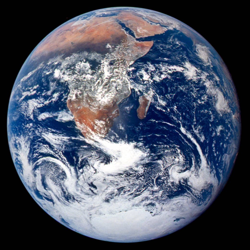
Equal Earth הוצג ב־2018. שטחים אמיתיים שווים תופסים שטחים שווים באותו קנה מידה. צורות, מרחקים וכיוונים עדיין משתנים. בקצה הגלובוס מדינות נראות דחוסות בגלל הפרספקטיבה. העבירו אותן למרכז לפני השוואת המתאר.
מקורות: PROJ · Equal Earth (Šavrič, Patterson & Jenny, 2018) · Esri ArcUser · Equal Earth design background (Winter 2019) · Šavrič, Jenny & Patterson · Equal Earth: design, adoption and impact (2019) · Library of Congress · Geospatial reference data: projection properties · D3 · Geographic projections · Natural Earth · Dataset scales
Sources and further reading
Sources checked:
- PROJ · Equal Earth (Šavrič, Patterson & Jenny, 2018) ↗
- Esri ArcUser · Equal Earth design background (Winter 2019) ↗
- Šavrič, Jenny & Patterson · Equal Earth: design, adoption and impact (2019) ↗
- Library of Congress · Geospatial reference data: projection properties ↗
- D3 · Geographic projections ↗
- Natural Earth · Dataset scales ↗
Related stories
למה גרינלנד נראית כה גדולה?
מפות מרקטור מותחות אזורים סמוכים לקטבים. לכן גרינלנד נראית גדולה מדי ביחס למדינות ליד קו המשווה. השוו את גרינלנד ואוסטרליה ב־Equal Earth. מפה טובה לניווט אינה בהכרח מתאימה להשוואת שטחים.
Why a country looks smaller at the globe’s edge
A globe avoids the familiar rectangular world, but its screen image still compresses the edge. Separate spherical area from visible footprint.
Five questions before sharing a “true world map”
Projection, zoom, viewpoint, source detail and the meaning of area all affect how you read a map. Check these before sharing a comparison screenshot.