
Ի՞նչ է պահպանում Equal Earth-ը։
Գունդը հարթեցնելը փոխում է որոշ հատկություններ։ Equal Earth-ը պահպանում է հարաբերական մակերեսները, բայց ոչ բոլոր ձևերը, հեռավորությունները և ուղղությունները։ Գլոբուսի եզրին ձևերը սեղմվում են։ Ընտրեք ձեր հարցին համապատասխան տեսքը։

Ինչ է փոխում քարտեզը
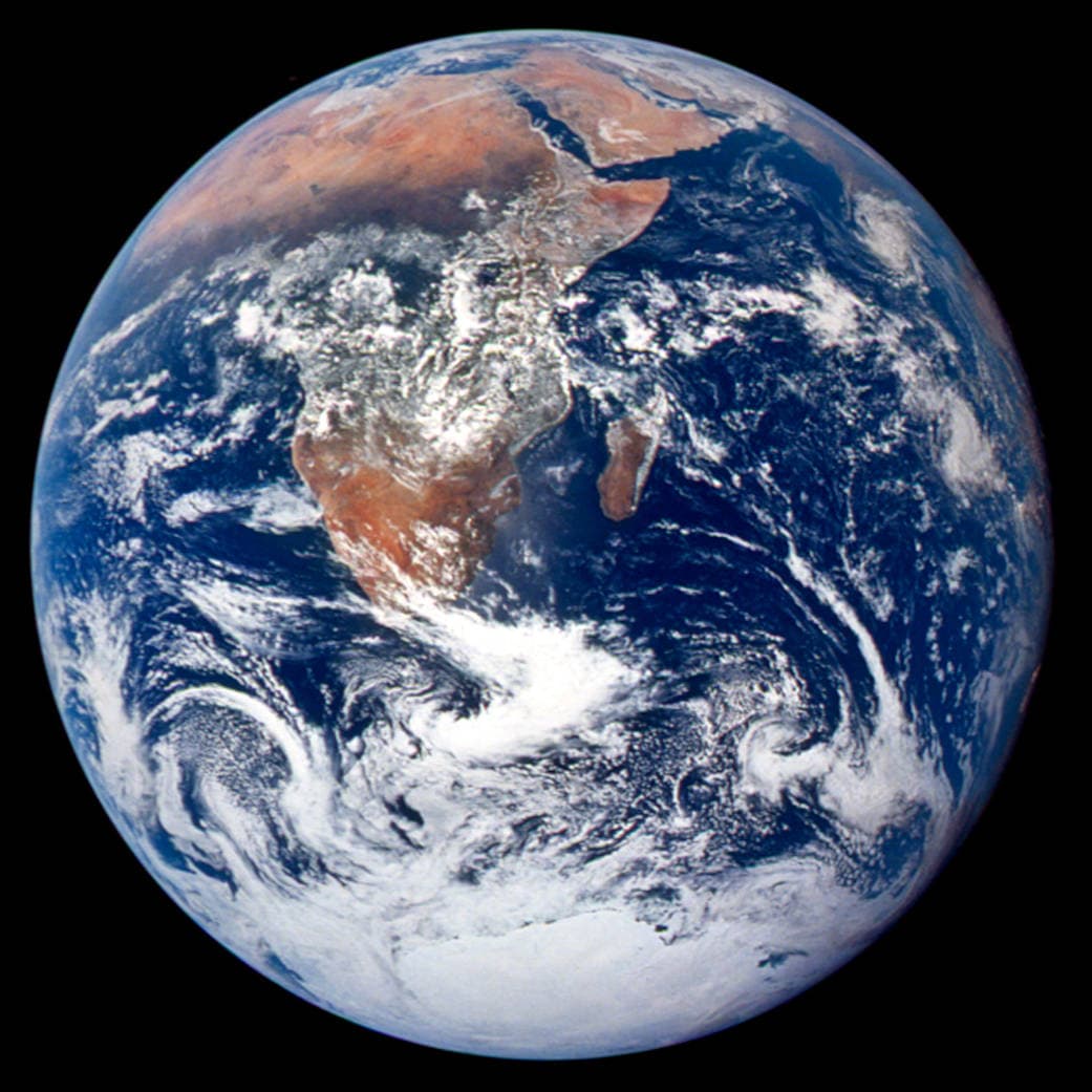
Equal Earth-ը ներկայացվել է 2018-ին։ Հավասար իրական մակերեսները նույն մասշտաբով զբաղեցնում են հավասար քարտեզային մակերեսներ։ Ձևերը, հեռավորություններն ու ուղղությունները փոխվում են։ Գլոբուսի եզրին երկրները հեռանկարի պատճառով սեղմված են թվում։ Համեմատելուց առաջ տեղափոխեք կենտրոն։
Աղբյուրներ: PROJ · Equal Earth (Šavrič, Patterson & Jenny, 2018) · Esri ArcUser · Equal Earth design background (Winter 2019) · Šavrič, Jenny & Patterson · Equal Earth: design, adoption and impact (2019) · Library of Congress · Geospatial reference data: projection properties · D3 · Geographic projections · Natural Earth · Dataset scales
Sources and further reading
Sources checked:
- PROJ · Equal Earth (Šavrič, Patterson & Jenny, 2018) ↗
- Esri ArcUser · Equal Earth design background (Winter 2019) ↗
- Šavrič, Jenny & Patterson · Equal Earth: design, adoption and impact (2019) ↗
- Library of Congress · Geospatial reference data: projection properties ↗
- D3 · Geographic projections ↗
- Natural Earth · Dataset scales ↗
Related stories
Ինչո՞ւ է Գրենլանդիան մեծ երևում։
Մերկատորի քարտեզները ձգում են բևեռներին մոտ տարածքները։ Այդ պատճառով Գրենլանդիան չափազանց մեծ է երևում հասարակածի մոտ երկրների համեմատ։ Համեմատեք Գրենլանդիան և Ավստրալիան Equal Earth-ում։ Նավարկության համար օգտակար քարտեզը միշտ չէ, որ հարմար է մակերեսների համեմատության համար։
Why a country looks smaller at the globe’s edge
A globe avoids the familiar rectangular world, but its screen image still compresses the edge. Separate spherical area from visible footprint.
Five questions before sharing a “true world map”
Projection, zoom, viewpoint, source detail and the meaning of area all affect how you read a map. Check these before sharing a comparison screenshot.