
Equal Earth 保留了什麼
把球面展開成平面必然改變某些特徵。Equal Earth 保留相對面積,適合比較國家大小,但不能同時保留所有形狀、距離和方向。切換到地球儀,觀察邊緣國家的壓縮。根據問題選擇地圖,而不是期待一張地圖解釋一切。

地圖改變了什麼
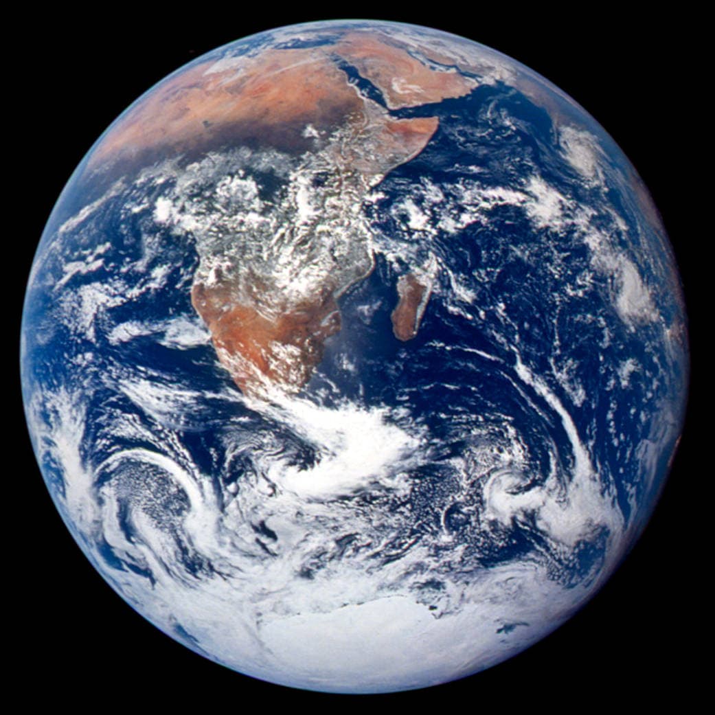
Equal Earth於2018年發表,讓相同實際面積在同一比例尺的平面圖上占據相同面積,但形狀、距離與方向仍會改變。地球儀邊緣的國家看起來受壓縮,是觀察角度造成的。比較前請把國家移到中央。
來源: PROJ · Equal Earth (Šavrič, Patterson & Jenny, 2018) · Esri ArcUser · Equal Earth design background (Winter 2019) · Šavrič, Jenny & Patterson · Equal Earth: design, adoption and impact (2019) · Library of Congress · Geospatial reference data: projection properties · D3 · Geographic projections · Natural Earth · Dataset scales
Sources and further reading
Sources checked:
- PROJ · Equal Earth (Šavrič, Patterson & Jenny, 2018) ↗
- Esri ArcUser · Equal Earth design background (Winter 2019) ↗
- Šavrič, Jenny & Patterson · Equal Earth: design, adoption and impact (2019) ↗
- Library of Congress · Geospatial reference data: projection properties ↗
- D3 · Geographic projections ↗
- Natural Earth · Dataset scales ↗
Related stories
格陵蘭為什麼看起來那麼大?
麥卡托地圖會放大靠近兩極的地區。因此,與赤道附近的國家相比,格陵蘭可能顯得比實際更大。在 Equal Earth 上搜尋格陵蘭和澳洲,比較它們的輪廓。熟悉的地圖是否影響了你的判斷?適合航行的地圖未必適合比較面積。
Why a country looks smaller at the globe’s edge
A globe avoids the familiar rectangular world, but its screen image still compresses the edge. Separate spherical area from visible footprint.
Five questions before sharing a “true world map”
Projection, zoom, viewpoint, source detail and the meaning of area all affect how you read a map. Check these before sharing a comparison screenshot.