
Was Equal Earth bewahrt
Eine Kugel abzuflachen verändert ihre Eigenschaften. Equal Earth bewahrt relative Flächen, aber nicht alle Formen, Entfernungen und Richtungen. Am Rand des Globus werden Formen zusammengedrückt. Wählen Sie die Ansicht passend zur Frage.

Was die Karte verändert
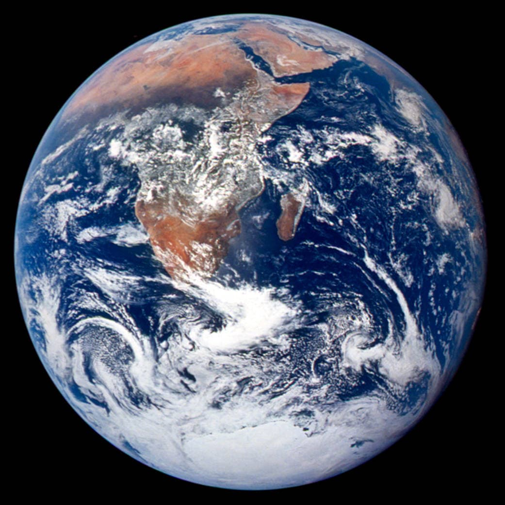
Equal Earth wurde 2018 vorgestellt. Gleiche reale Flächen belegen bei gleichem Maßstab gleich große Kartenflächen. Formen, Entfernungen und Richtungen ändern sich dennoch. Am Globusrand wirken Länder durch die Perspektive zusammengedrückt. Bringen Sie sie für einen Vergleich in die Mitte.
Quellen: PROJ · Equal Earth (Šavrič, Patterson & Jenny, 2018) · Esri ArcUser · Equal Earth design background (Winter 2019) · Šavrič, Jenny & Patterson · Equal Earth: design, adoption and impact (2019) · Library of Congress · Geospatial reference data: projection properties · D3 · Geographic projections · Natural Earth · Dataset scales
Sources and further reading
Sources checked:
- PROJ · Equal Earth (Šavrič, Patterson & Jenny, 2018) ↗
- Esri ArcUser · Equal Earth design background (Winter 2019) ↗
- Šavrič, Jenny & Patterson · Equal Earth: design, adoption and impact (2019) ↗
- Library of Congress · Geospatial reference data: projection properties ↗
- D3 · Geographic projections ↗
- Natural Earth · Dataset scales ↗
Related stories
Warum wirkt Grönland so groß?
Mercatorkarten dehnen Gebiete nahe den Polen. Grönland wirkt deshalb gegenüber Ländern am Äquator übermäßig groß. Vergleichen Sie Grönland und Australien auf Equal Earth. Eine nützliche Navigationskarte eignet sich nicht automatisch zum Flächenvergleich.
Why a country looks smaller at the globe’s edge
A globe avoids the familiar rectangular world, but its screen image still compresses the edge. Separate spherical area from visible footprint.
Five questions before sharing a “true world map”
Projection, zoom, viewpoint, source detail and the meaning of area all affect how you read a map. Check these before sharing a comparison screenshot.