
Ką išsaugo Equal Earth?
Paverčiant sferą plokštuma kai kurios savybės pasikeičia. Equal Earth išsaugo santykinius plotus, bet ne visas formas, atstumus ir kryptis. Gaublio krašte formos susispaudžia. Pasirinkite vaizdą pagal savo klausimą.

Ką keičia žemėlapis
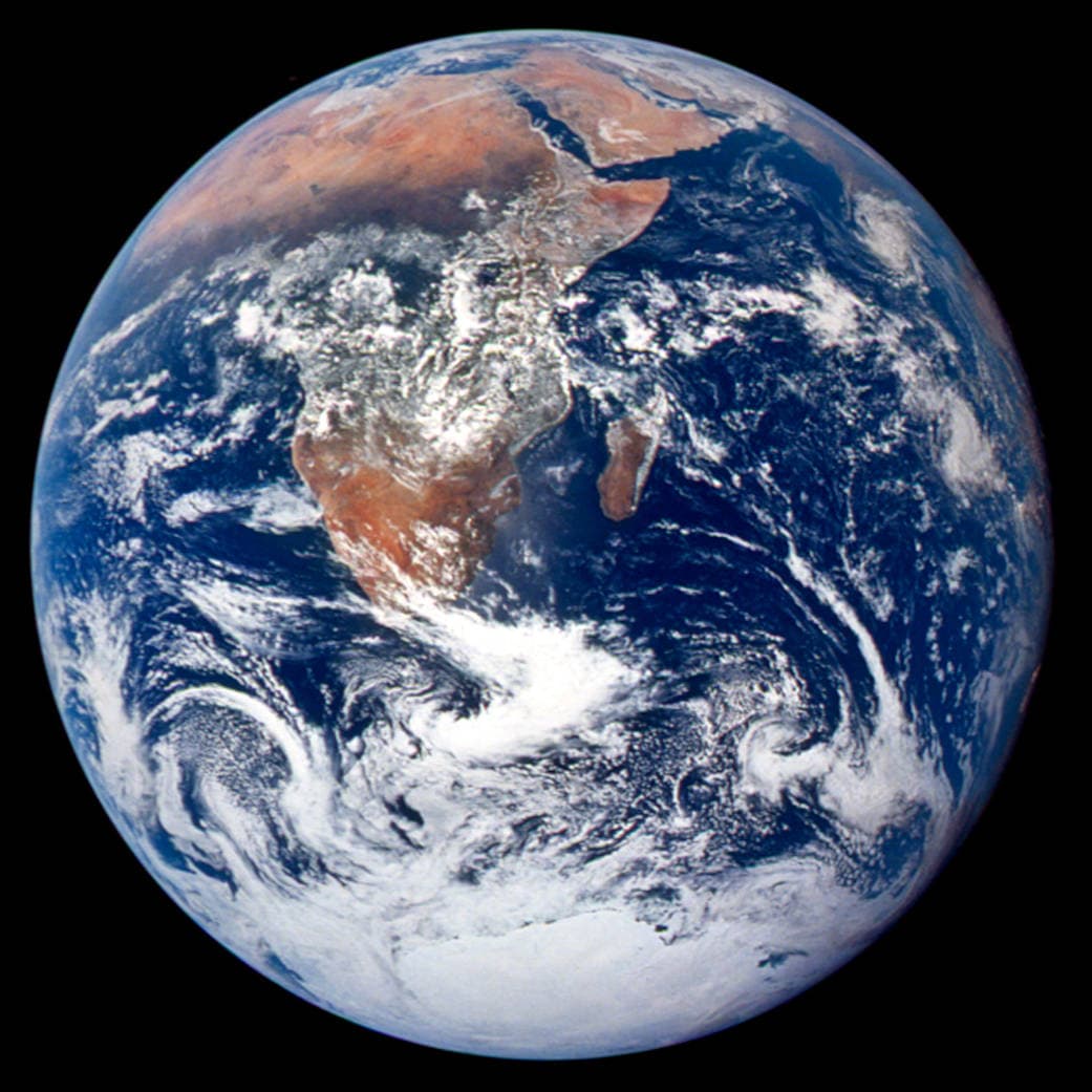
Equal Earth pristatyta 2018 m. Vienodi tikrieji plotai užima vienodus žemėlapio plotus tuo pačiu masteliu. Formos, atstumai ir kryptys vis tiek keičiasi. Gaublio pakraštyje šalys dėl perspektyvos atrodo suspaustos. Prieš lyginant perkelkite jas į centrą.
Šaltiniai: PROJ · Equal Earth (Šavrič, Patterson & Jenny, 2018) · Esri ArcUser · Equal Earth design background (Winter 2019) · Šavrič, Jenny & Patterson · Equal Earth: design, adoption and impact (2019) · Library of Congress · Geospatial reference data: projection properties · D3 · Geographic projections · Natural Earth · Dataset scales
Sources and further reading
Sources checked:
- PROJ · Equal Earth (Šavrič, Patterson & Jenny, 2018) ↗
- Esri ArcUser · Equal Earth design background (Winter 2019) ↗
- Šavrič, Jenny & Patterson · Equal Earth: design, adoption and impact (2019) ↗
- Library of Congress · Geospatial reference data: projection properties ↗
- D3 · Geographic projections ↗
- Natural Earth · Dataset scales ↗
Related stories
Kodėl Grenlandija atrodo tokia didelė?
Merkatoriaus žemėlapiai ištempia sritis prie ašigalių. Todėl Grenlandija atrodo per didelė, palyginti su šalimis prie pusiaujo. Palyginkite Grenlandiją ir Australiją Equal Earth žemėlapyje. Navigacijai naudingas žemėlapis nebūtinai tinka plotams lyginti.
Why a country looks smaller at the globe’s edge
A globe avoids the familiar rectangular world, but its screen image still compresses the edge. Separate spherical area from visible footprint.
Five questions before sharing a “true world map”
Projection, zoom, viewpoint, source detail and the meaning of area all affect how you read a map. Check these before sharing a comparison screenshot.