
Τι διατηρεί το Equal Earth;
Η μεταφορά μιας σφαίρας σε επίπεδο αλλάζει κάποια χαρακτηριστικά. Το Equal Earth διατηρεί σχετικά εμβαδά, όχι όλα τα σχήματα, τις αποστάσεις και τις κατευθύνσεις. Στην άκρη της υδρογείου τα σχήματα συμπιέζονται. Επιλέξτε όψη ανάλογα με το ερώτημα.

Τι αλλάζει ο χάρτης
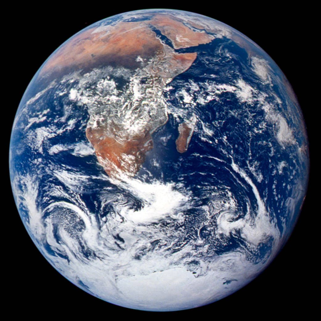
Η Equal Earth παρουσιάστηκε το 2018. Ίσες πραγματικές εκτάσεις καταλαμβάνουν ίσες επιφάνειες στην ίδια κλίμακα. Σχήματα, αποστάσεις και διευθύνσεις αλλάζουν. Στην άκρη της υδρογείου οι χώρες φαίνονται συμπιεσμένες λόγω προοπτικής. Μετακινήστε τις στο κέντρο πριν τη σύγκριση.
Πηγές: PROJ · Equal Earth (Šavrič, Patterson & Jenny, 2018) · Esri ArcUser · Equal Earth design background (Winter 2019) · Šavrič, Jenny & Patterson · Equal Earth: design, adoption and impact (2019) · Library of Congress · Geospatial reference data: projection properties · D3 · Geographic projections · Natural Earth · Dataset scales
Sources and further reading
Sources checked:
- PROJ · Equal Earth (Šavrič, Patterson & Jenny, 2018) ↗
- Esri ArcUser · Equal Earth design background (Winter 2019) ↗
- Šavrič, Jenny & Patterson · Equal Earth: design, adoption and impact (2019) ↗
- Library of Congress · Geospatial reference data: projection properties ↗
- D3 · Geographic projections ↗
- Natural Earth · Dataset scales ↗
Related stories
Γιατί η Γροιλανδία φαίνεται τόσο μεγάλη;
Οι χάρτες Μερκάτορα τεντώνουν περιοχές κοντά στους πόλους. Έτσι η Γροιλανδία φαίνεται υπερβολικά μεγάλη σε σχέση με χώρες στον ισημερινό. Συγκρίνετε Γροιλανδία και Αυστραλία στο Equal Earth. Ένας χάρτης χρήσιμος στην πλοήγηση δεν είναι πάντα καλός για σύγκριση εμβαδών.
Why a country looks smaller at the globe’s edge
A globe avoids the familiar rectangular world, but its screen image still compresses the edge. Separate spherical area from visible footprint.
Five questions before sharing a “true world map”
Projection, zoom, viewpoint, source detail and the meaning of area all affect how you read a map. Check these before sharing a comparison screenshot.