
Equal Earth: equal areas, different shapes
Equal Earth can make a country look less oversized without giving it its exact globe shape. The same amount of ground gets the same amount of map space, but a flat world cannot preserve every geometric property at once.

A familiar world, with a different area rule
The idea grew out of news in 2017 that Boston Public Schools was switching its classroom world maps to Gall–Peters. That projection preserves area, but makes tropical continents look elongated from north to south. The researchers wanted an alternative that kept area proportions while making continent shapes easier to read. Gall–Peters is not the only equal-area projection.
Bojan Šavrič, Tom Patterson and Bernhard Jenny introduced Equal Earth in 2018. They drew inspiration from Robinson’s familiar rounded outline and balanced appearance. Robinson, however, does not preserve area. Equal Earth sought a similarly readable world map while adding that specific requirement.
An attractive outline alone does not tell you whether area is preserved. When reading a classroom map or comparing countries, check the projection name and its stated property before using screen space as evidence of geographic size.
Sources: PROJ · Equal Earth (Šavrič, Patterson & Jenny, 2018) · Esri ArcUser · Equal Earth design background (Winter 2019) · Šavrič, Jenny & Patterson · Equal Earth: design, adoption and impact (2019)
Equal does not mean equally shaped
Imagine two pieces of paper with the same area: one can be wide and short, the other narrow and tall. Equal area does not require equal shape. A map projection has a similar distinction, although its transformations are governed by geographic coordinates rather than a freehand stretch.
On Equal Earth, a country near the edge may look bent or wider than expected. That can coexist with correct relative area. If a shape seems surprising, compare it with the globe before assuming its amount of land has changed.
Sources: Library of Congress · Geospatial reference data: projection properties
Ask an area question, not every question
Equal Earth is useful for questions such as “Which of these regions contains more land?” It does not make a ruler placed anywhere on the world map an accurate distance tool. Nor should a straight line drawn between two cities automatically be treated as the shortest journey.
Compare land footprints here. For travel distance, use a geodesic distance calculation; for an actual itinerary, use a suitable route service. A convincing-looking world map cannot measure all three accurately.
Sources: Library of Congress · Geospatial reference data: projection properties
Try Greenland beside Brazil
Find Greenland and Brazil at the same zoom. Mercator enlarges high-latitude Greenland, which can make the difference between the two feel smaller. Equal Earth lets you inspect Brazil’s broad outline and Greenland’s relative size under a consistent area scale.
Move Greenland between the center and the edge of the flat view. Its shape changes, but its share of map area at a common scale is retained. Countries at different latitudes get the same amount of map space for the same amount of ground.
Sources: PROJ · Equal Earth (Šavrič, Patterson & Jenny, 2018)
Compare views without changing the question
- Open Equal Earth and find Greenland, Brazil and Australia.
- Compare their footprints without changing the zoom between observations.
- Switch to the globe and bring each country near the center before looking at its shape.
Use the flat view for relative area and the globe for another view of shape. The two views answer related, but different, questions.
Open the map →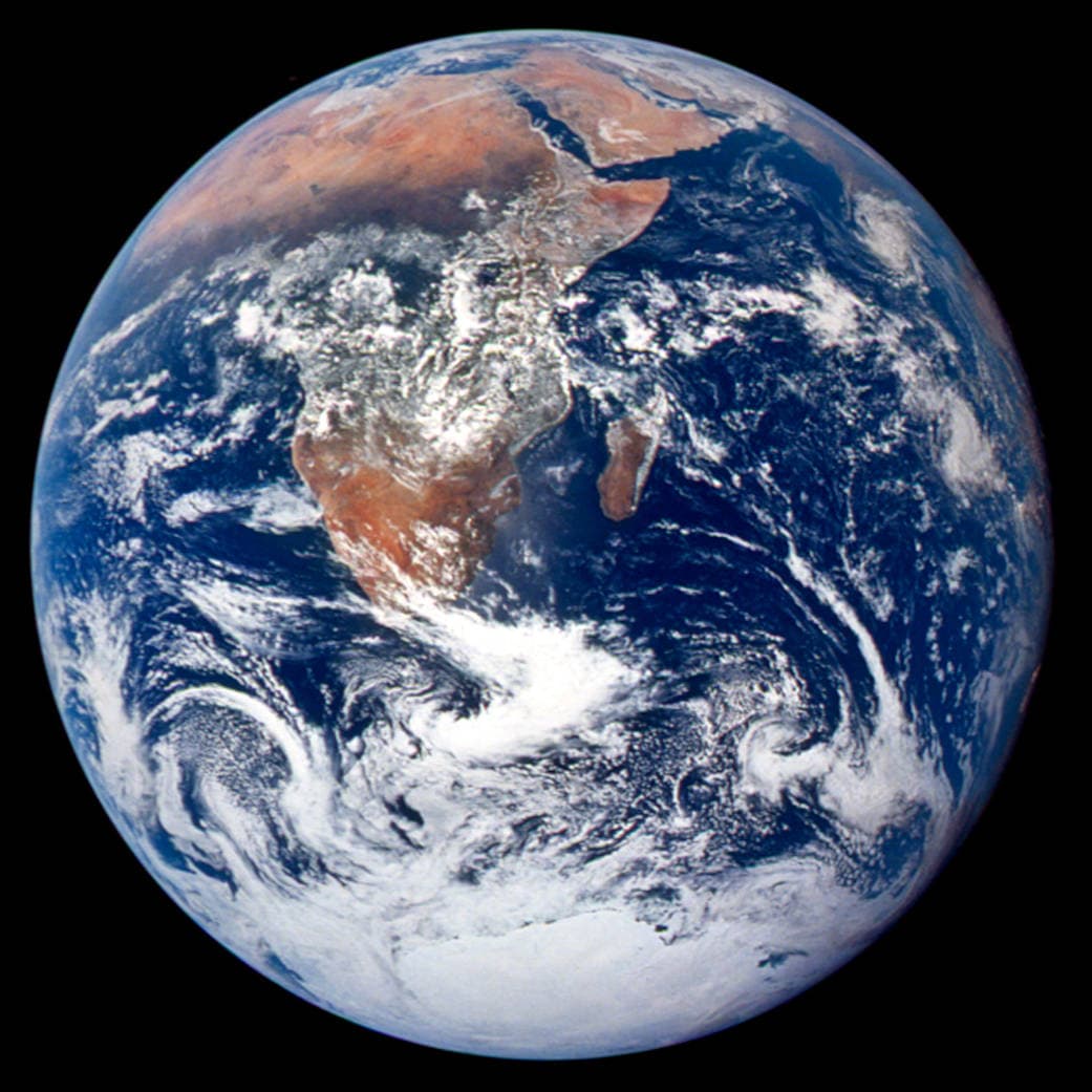
Common questions
Does Equal Earth remove every distortion?
No. It preserves relative area while shape, direction and distance can change.
Are the map’s area figures official statistics?
No. They are estimates from the displayed boundary geometry. Official statistics can use a different coastline and include different waters or territories.
Does the globe preserve the same visible area ratios?
No. The equal-area property applies to the flat Equal Earth map. The globe shows a sphere from one viewpoint, so land near the edge looks compressed by perspective. The country’s physical area has not changed.
Sources and further reading
Sources checked:
- PROJ · Equal Earth (Šavrič, Patterson & Jenny, 2018) ↗
- Esri ArcUser · Equal Earth design background (Winter 2019) ↗
- Šavrič, Jenny & Patterson · Equal Earth: design, adoption and impact (2019) ↗
- Library of Congress · Geospatial reference data: projection properties ↗
- D3 · Geographic projections ↗
- Natural Earth · Dataset scales ↗
Related stories
Why does Greenland look so large?
Move Greenland toward the equator and watch its outline change. The land stays the same; the map scale does not.
Why a country looks smaller at the globe’s edge
A globe avoids the familiar rectangular world, but its screen image still compresses the edge. Separate spherical area from visible footprint.
Five questions before sharing a “true world map”
Projection, zoom, viewpoint, source detail and the meaning of area all affect how you read a map. Check these before sharing a comparison screenshot.