
地图故事
认识国家面积、投影方法和边界数据。读完故事,再到互动地图上验证。
打开地图 →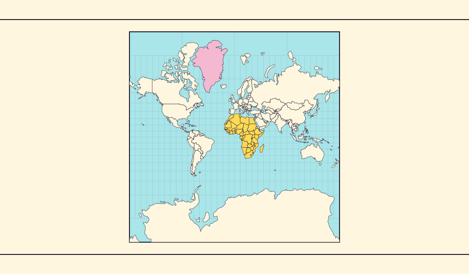
格陵兰为什么看起来那么大?
墨卡托地图会放大靠近两极的地区。因此,与赤道附近的国家相比,格陵兰可能显得比实际更大。在 Equal Earth 上搜索格陵兰和澳大利亚,比较它们的轮廓。熟悉的地图是否影响了你的判断?适合航行的地图未必适合比较面积。
阅读故事 →
Equal Earth 保留了什么
把球面展开成平面必然改变某些特征。Equal Earth 保留相对面积,适合比较国家大小,但不能同时保留所有形状、距离和方向。切换到地球仪,观察边缘国家的压缩。根据问题选择地图,而不是期待一张地图解释一切。
阅读故事 →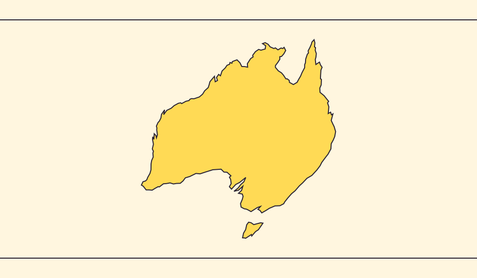
边界和面积为何不同
简化地图会省略小海湾和岛屿。本地图使用 Natural Earth 的 1:1.1 亿边界,并根据简化的球面几何计算面积。官方统计对水域或领土的定义可能不同。≈ 表示这里显示的是估算值。
阅读故事 →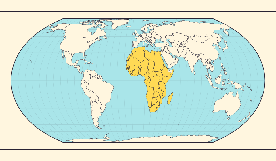
Africa is bigger than the map in your memory
The equator crosses Africa, but familiar rectangular maps give northern regions extra space. Compare Africa with countries you know to get a sense of its size.
阅读故事 →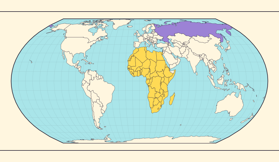
Russia and Africa: width is not area
Russia stretches across the top of many world maps. Compare that visual width with area, and learn why a country and a continent need different labels.
阅读故事 →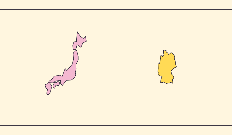
Japan and Germany: a long shape can hide a similar area
An island chain and a compact mainland country look very different. Compare area without confusing the sea between islands with land.
阅读故事 →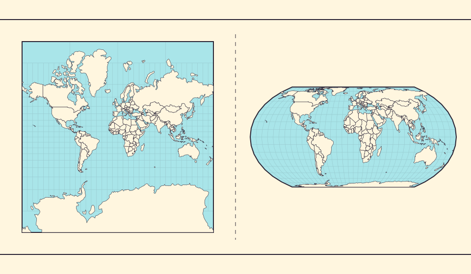
Why online maps stop before the poles
Square tiles make a world map easy to zoom, but Mercator cannot place the poles at a finite height. Learn what the missing polar strip means.
阅读故事 →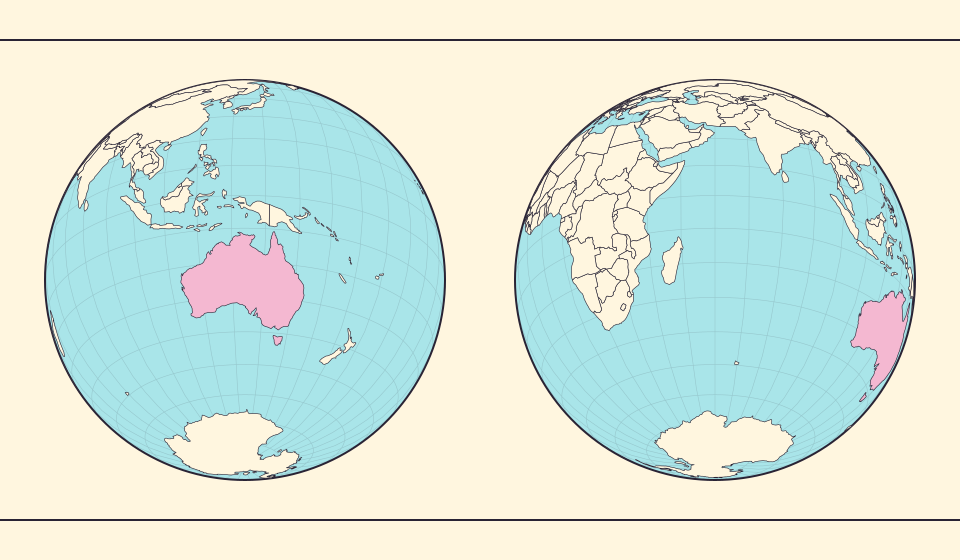
Why a country looks smaller at the globe’s edge
A globe avoids the familiar rectangular world, but its screen image still compresses the edge. Separate spherical area from visible footprint.
阅读故事 →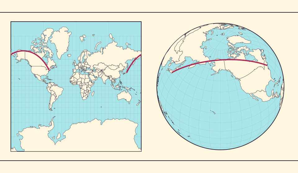
Why the shortest flight looks curved on a map
A straight line on the screen need not be the shortest path around Earth. Compare great-circle paths with compass bearings, and see what a route illustration can tell you.
阅读故事 →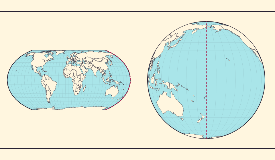
The map edge is not the International Date Line
Longitude wraps around, a flat map has a seam, and calendar dates have a boundary. These three ideas are related but not identical.
阅读故事 →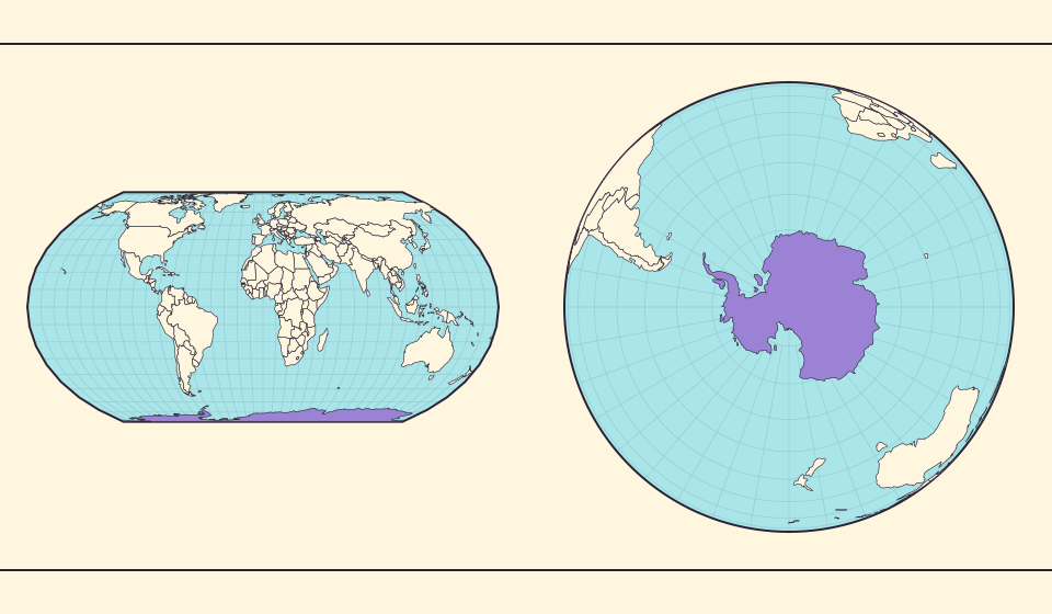
Antarctica is a continent, not the bottom border
A stretched southern strip can hide the shape of a whole continent. Compare Antarctica on Mercator, Equal Earth and a polar globe view.
阅读故事 →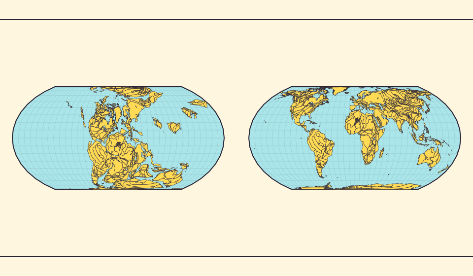
Pangaea was not there at the start of every timeline
At 600 million years ago, Pangaea had not yet assembled. Follow separated landmasses as they come together and later drift apart.
阅读故事 →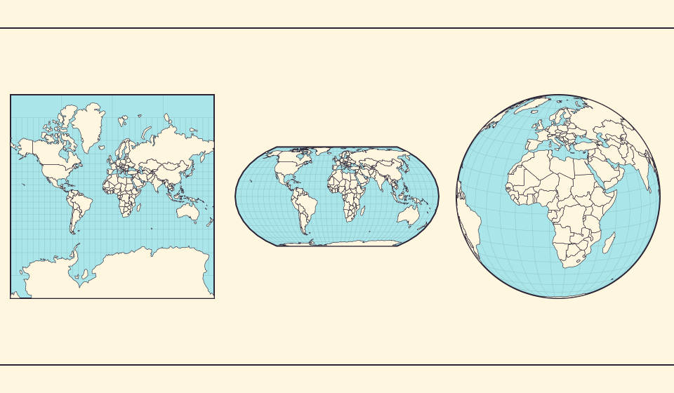
Five questions before sharing a “true world map”
Projection, zoom, viewpoint, source detail and the meaning of area all affect how you read a map. Check these before sharing a comparison screenshot.
阅读故事 →