
Zgodbe o zemljevidih
Spoznajte površine, projekcije in podatke o mejah ter jih preverite na zemljevidu.
Odpri zemljevid →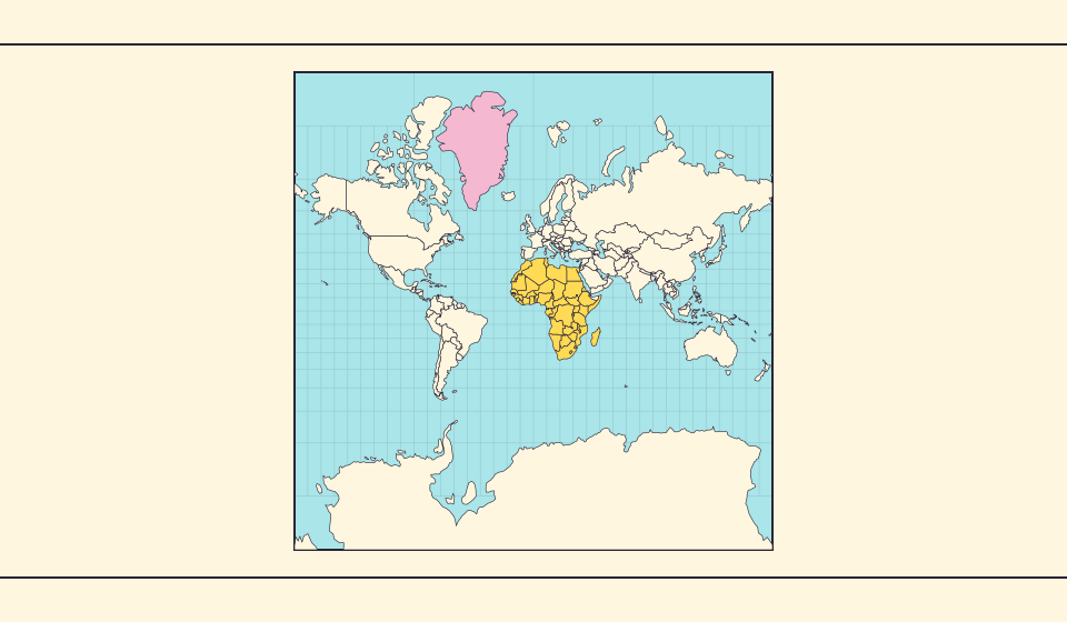
Zakaj je Grenlandija videti tako velika?
Mercatorjevi zemljevidi raztegnejo območja pri polih. Grenlandija zato deluje prevelika glede na države ob ekvatorju. Primerjajte Grenlandijo in Avstralijo na Equal Earth. Zemljevid za navigacijo ni nujno primeren za primerjavo površin.
Preberite zgodbo →
Kaj ohranja Equal Earth?
Pretvorba krogle v ravnino spremeni njene lastnosti. Equal Earth ohranja relativne površine, ne pa vseh oblik, razdalj in smeri. Ob robu globusa so oblike stisnjene. Izberite pogled glede na vprašanje.
Preberite zgodbo →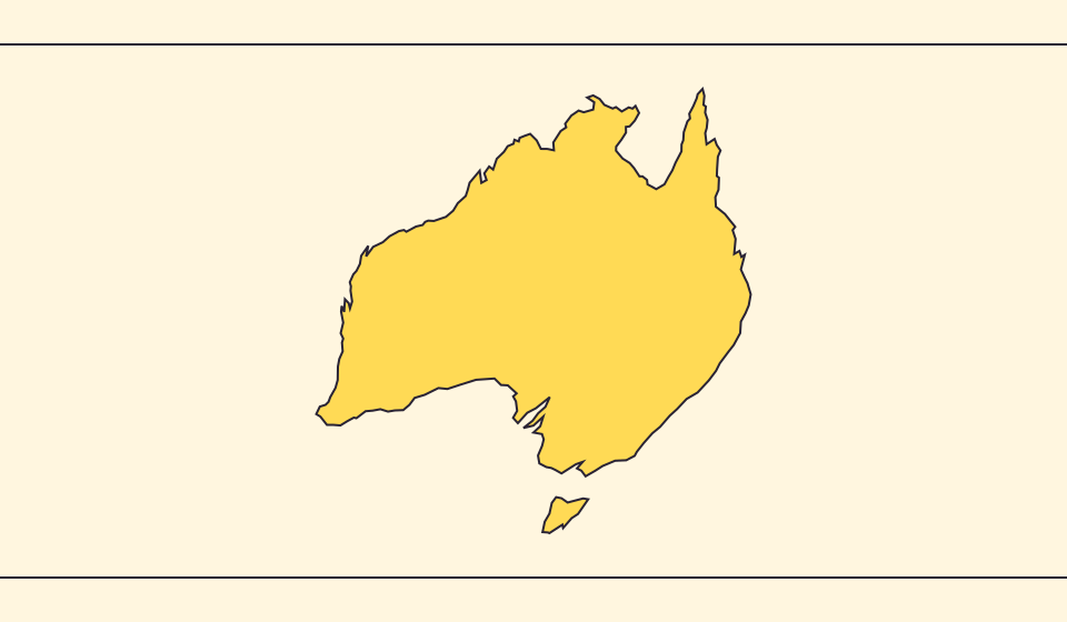
Zakaj se meje in površine razlikujejo?
Poenostavitev izpušča majhne zalive in otoke. Uporabljamo meje Natural Earth v merilu 1:110 milijonov in računamo površine iz poenostavljenih sfernih oblik. Uradni podatki lahko vode in ozemlja štejejo drugače. ≈ pomeni oceno.
Preberite zgodbo →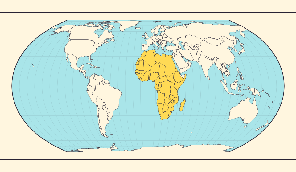
Africa is bigger than the map in your memory
The equator crosses Africa, but familiar rectangular maps give northern regions extra space. Compare Africa with countries you know to get a sense of its size.
Preberite zgodbo →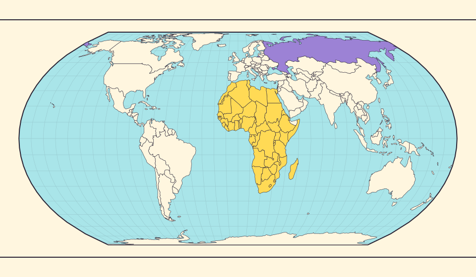
Russia and Africa: width is not area
Russia stretches across the top of many world maps. Compare that visual width with area, and learn why a country and a continent need different labels.
Preberite zgodbo →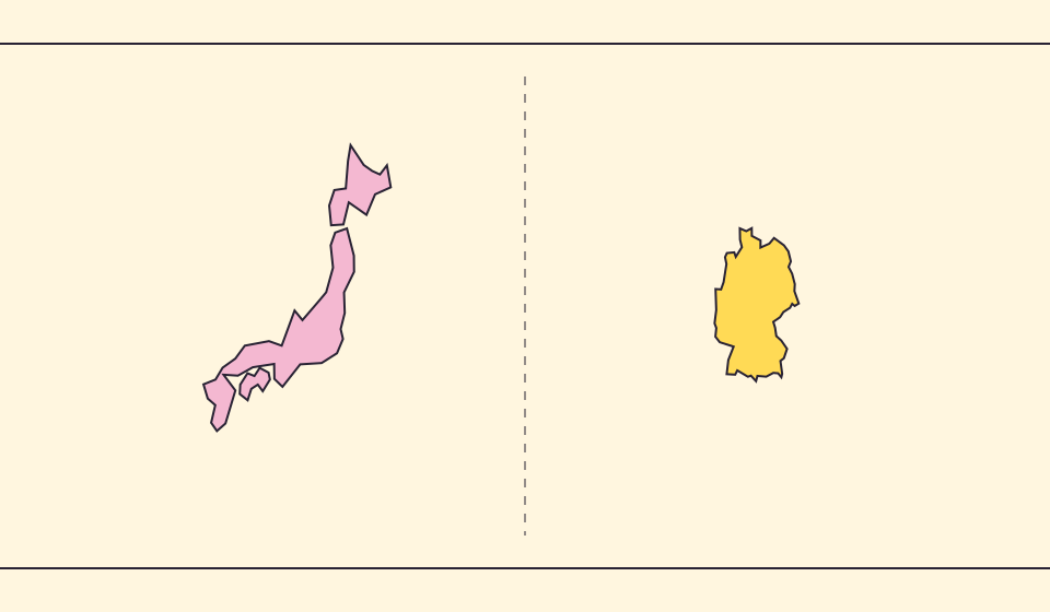
Japan and Germany: a long shape can hide a similar area
An island chain and a compact mainland country look very different. Compare area without confusing the sea between islands with land.
Preberite zgodbo →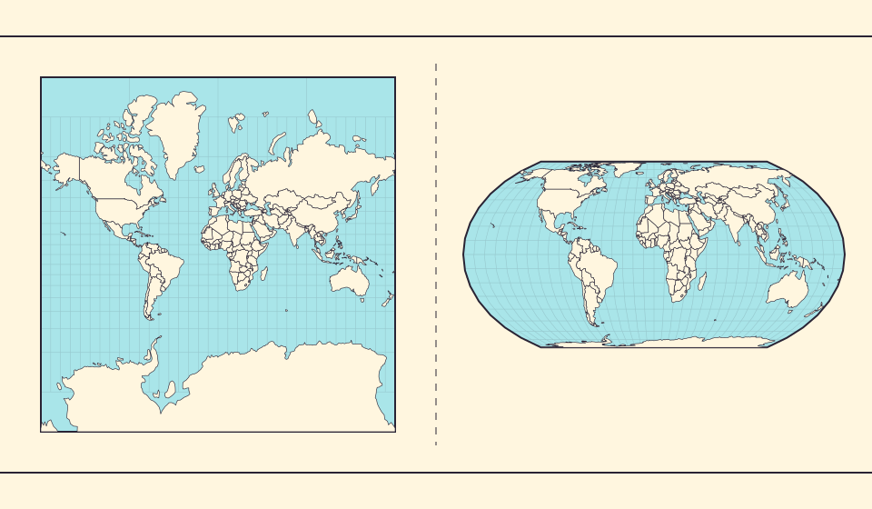
Why online maps stop before the poles
Square tiles make a world map easy to zoom, but Mercator cannot place the poles at a finite height. Learn what the missing polar strip means.
Preberite zgodbo →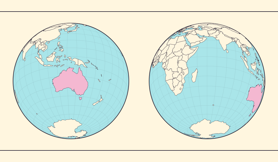
Why a country looks smaller at the globe’s edge
A globe avoids the familiar rectangular world, but its screen image still compresses the edge. Separate spherical area from visible footprint.
Preberite zgodbo →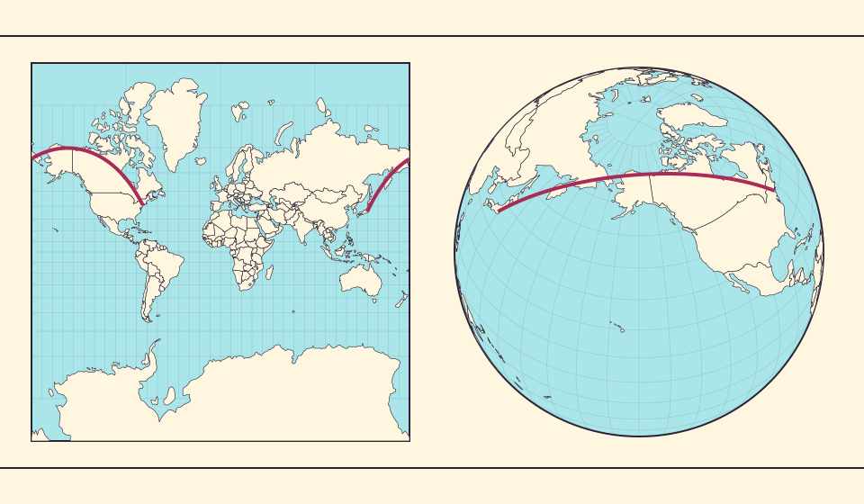
Why the shortest flight looks curved on a map
A straight line on the screen need not be the shortest path around Earth. Compare great-circle paths with compass bearings, and see what a route illustration can tell you.
Preberite zgodbo →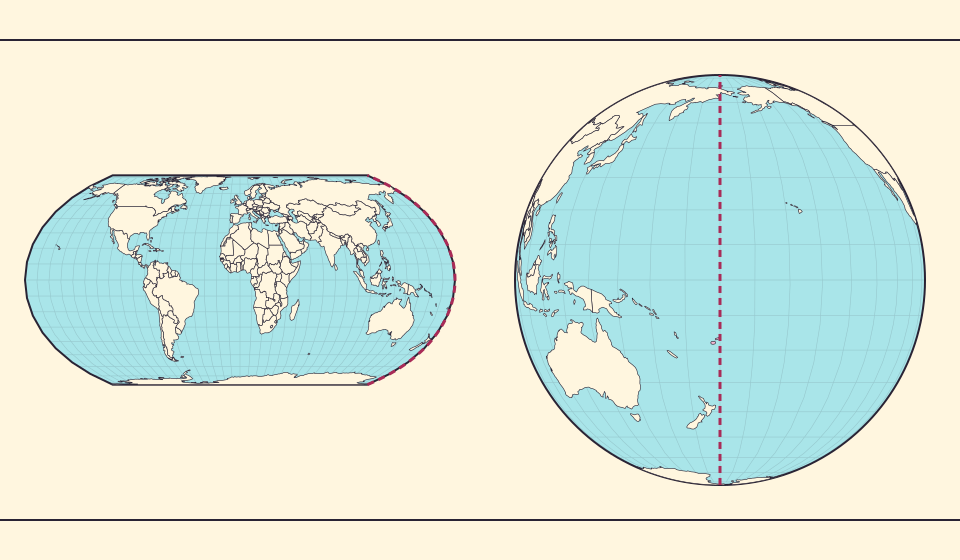
The map edge is not the International Date Line
Longitude wraps around, a flat map has a seam, and calendar dates have a boundary. These three ideas are related but not identical.
Preberite zgodbo →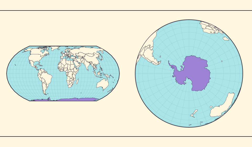
Antarctica is a continent, not the bottom border
A stretched southern strip can hide the shape of a whole continent. Compare Antarctica on Mercator, Equal Earth and a polar globe view.
Preberite zgodbo →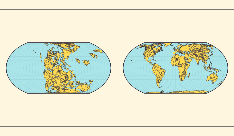
Pangaea was not there at the start of every timeline
At 600 million years ago, Pangaea had not yet assembled. Follow separated landmasses as they come together and later drift apart.
Preberite zgodbo →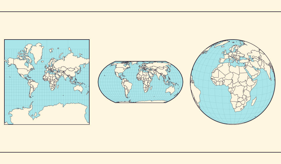
Five questions before sharing a “true world map”
Projection, zoom, viewpoint, source detail and the meaning of area all affect how you read a map. Check these before sharing a comparison screenshot.
Preberite zgodbo →