
边界和面积为何不同
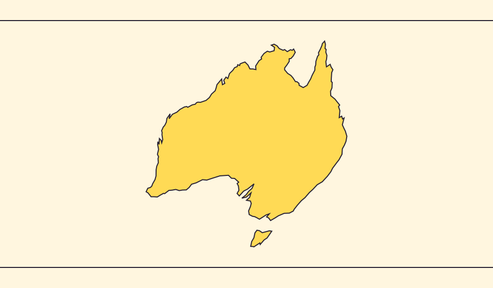
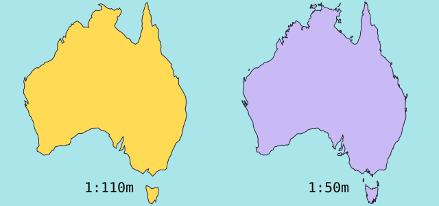
简化地图会省略小海湾和岛屿。本地图使用 Natural Earth 的 1:1.1 亿边界,并根据简化的球面几何计算面积。官方统计对水域或领土的定义可能不同。≈ 表示这里显示的是估算值。
地图改变了什么
Natural Earth的1:1.1亿边界简化了小岛和海湾。几何面积由球面多边形面积与地球平均半径6,371.0088 km计算,并非官方统计。统计表和图形可能对水域、领土采用不同范围。
来源: Natural Earth · Dataset scales · World Bank · Land area: definition · World Bank · Surface area: definition · D3 · Spherical area and distance
Sources and further reading
Sources checked:
Related stories
Japan and Germany: a long shape can hide a similar area
An island chain and a compact mainland country look very different. Compare area without confusing the sea between islands with land.
Five questions before sharing a “true world map”
Projection, zoom, viewpoint, source detail and the meaning of area all affect how you read a map. Check these before sharing a comparison screenshot.
Equal Earth 保留了什么
把球面展开成平面必然改变某些特征。Equal Earth 保留相对面积,适合比较国家大小,但不能同时保留所有形状、距离和方向。切换到地球仪,观察边缘国家的压缩。根据问题选择地图,而不是期待一张地图解释一切。