
لماذا تختلف الحدود والمساحات؟
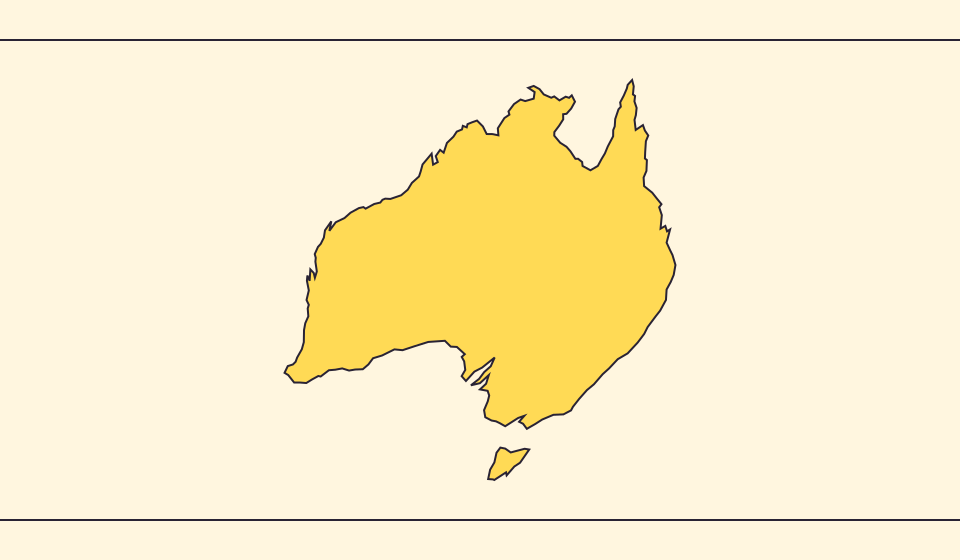
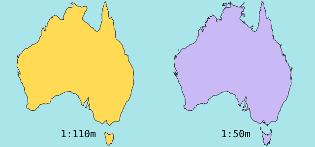
قد تختفي الخلجان والجزر الصغيرة عند تبسيط الخريطة. نستخدم حدود Natural Earth بمقياس 1:110 مليون، ونحسب المساحة من أشكال كروية مبسطة. قد تختلف تعريفات المياه والأقاليم في الإحصاءات الرسمية. الرمز ≈ يعني تقديراً.
ما الذي تغيّره الخريطة
تُبسّط حدود Natural Earth بمقياس 1:110 مليون الجزر والخلجان الصغيرة. يستخدم التقدير مساحة المضلع الكروي ومتوسط نصف قطر الأرض 6,371.0088 كم. قد تشمل الأرقام الرسمية مياهًا أو أراضي غير موجودة في الرسم.
المصادر: Natural Earth · Dataset scales · World Bank · Land area: definition · World Bank · Surface area: definition · D3 · Spherical area and distance
Sources and further reading
Sources checked:
Related stories
Japan and Germany: a long shape can hide a similar area
An island chain and a compact mainland country look very different. Compare area without confusing the sea between islands with land.
Five questions before sharing a “true world map”
Projection, zoom, viewpoint, source detail and the meaning of area all affect how you read a map. Check these before sharing a comparison screenshot.
ما الذي يحافظ عليه Equal Earth؟
تسطيح الكرة يغير بعض خصائصها. يحافظ Equal Earth على المساحات النسبية، لكنه لا يحافظ على كل الأشكال والمسافات والاتجاهات. في الكرة الأرضية تنضغط الأشكال عند الحواف. اختر العرض المناسب لسؤالك.