
למה גבולות ושטחים שונים?
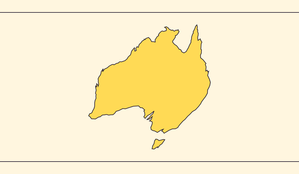
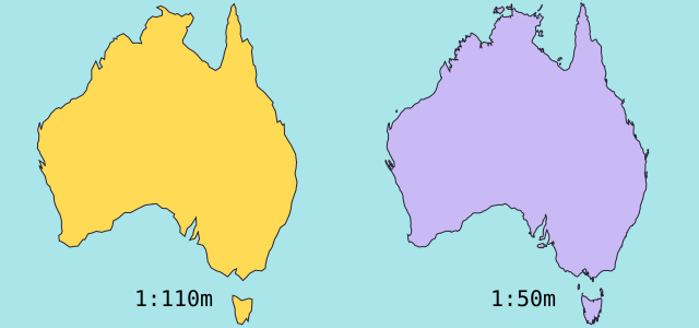
פישוט מפה משמיט מפרצים ואיים קטנים. אנו משתמשים בגבולות Natural Earth בקנה מידה 1:110 מיליון ומחשבים שטחים מצורות כדוריות מפושטות. נתונים רשמיים עשויים לכלול מים וטריטוריות אחרת. ≈ מציין אומדן.
מה המפה משנה
גבולות Natural Earth בקנה מידה 1:110 מיליון מפשטים איים ומפרצים קטנים. האומדן משתמש בשטח מצולע כדורי וברדיוס הארץ הממוצע 6,371.0088 ק״מ. נתונים רשמיים עשויים לכלול מים או שטחים שאינם בציור.
מקורות: Natural Earth · Dataset scales · World Bank · Land area: definition · World Bank · Surface area: definition · D3 · Spherical area and distance
Sources and further reading
Sources checked:
Related stories
Japan and Germany: a long shape can hide a similar area
An island chain and a compact mainland country look very different. Compare area without confusing the sea between islands with land.
Five questions before sharing a “true world map”
Projection, zoom, viewpoint, source detail and the meaning of area all affect how you read a map. Check these before sharing a comparison screenshot.
מה Equal Earth משמרת?
השטחת כדור משנה חלק מתכונותיו. Equal Earth משמרת שטחים יחסיים, אך לא את כל הצורות, המרחקים והכיוונים. בשולי הגלובוס הצורות נדחסות. בחרו תצוגה המתאימה לשאלה שלכם.