
چرا مرزها و مساحتها متفاوتاند؟
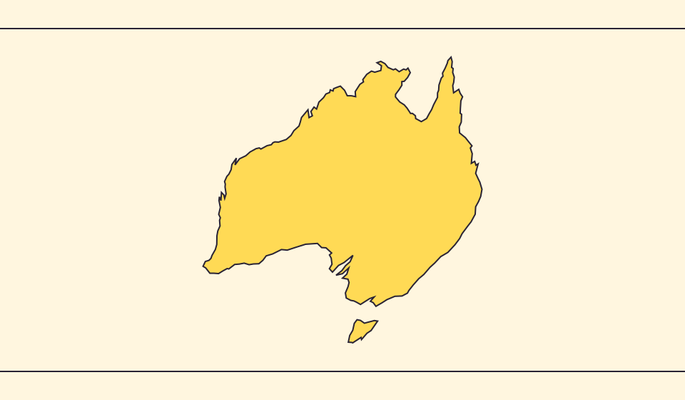
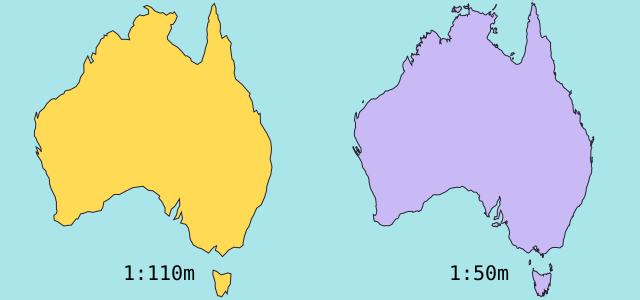
سادهسازی نقشه خلیجها و جزیرههای کوچک را حذف میکند. از مرزهای Natural Earth با مقیاس ۱:۱۱۰ میلیون و شکلهای کروی سادهشده برای محاسبهٔ مساحت استفاده میکنیم. آمار رسمی ممکن است آب و سرزمینها را متفاوت بشمارد. ≈ نشانهٔ تخمین است.
نقشه چه چیزی را تغییر میدهد
مرزهای Natural Earth در مقیاس 1:110 میلیون جزیرهها و خلیجهای کوچک را ساده میکنند. برآورد از مساحت چندضلعی کروی و شعاع متوسط زمین 6,371.0088 کیلومتر استفاده میکند. آمار رسمی ممکن است آبها یا قلمروهایی را حساب کند که در شکل نیستند.
منابع: Natural Earth · Dataset scales · World Bank · Land area: definition · World Bank · Surface area: definition · D3 · Spherical area and distance
Sources and further reading
Sources checked:
Related stories
Japan and Germany: a long shape can hide a similar area
An island chain and a compact mainland country look very different. Compare area without confusing the sea between islands with land.
Five questions before sharing a “true world map”
Projection, zoom, viewpoint, source detail and the meaning of area all affect how you read a map. Check these before sharing a comparison screenshot.
Equal Earth چه چیزی را حفظ میکند؟
تبدیل کره به صفحه برخی ویژگیها را تغییر میدهد. Equal Earth مساحتهای نسبی را حفظ میکند، نه همهٔ شکلها، فاصلهها و جهتها را. در لبهٔ کره شکلها فشرده میشوند. نمایش را متناسب با پرسش خود انتخاب کنید.