
国境と面積が異なる理由
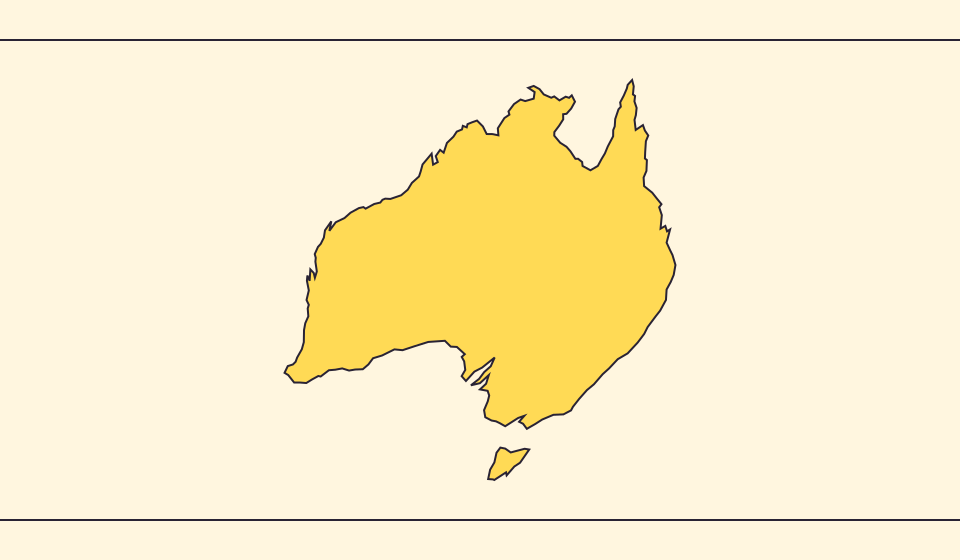
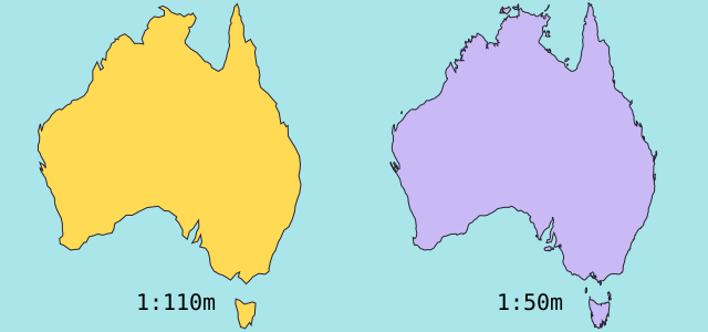
地図の簡略化で小さな湾や島が省かれます。この地図は Natural Earth の縮尺1億1千万分の1の境界を使い、簡略化した球面形状から面積を計算します。公式統計では水域や領土の定義が異なる場合があります。≈ は推定値の印です。
地図が変えるもの
Natural Earth の1:1億1000万の境界は、小さな島や入り江を簡略化しています。幾何学的な面積は球面多角形と地球の平均半径6,371.0088 kmから算出します。公式統計とは水域や領土の範囲が異なる場合があります。
出典: Natural Earth · Dataset scales · World Bank · Land area: definition · World Bank · Surface area: definition · D3 · Spherical area and distance
Sources and further reading
Sources checked:
Related stories
Japan and Germany: a long shape can hide a similar area
An island chain and a compact mainland country look very different. Compare area without confusing the sea between islands with land.
Five questions before sharing a “true world map”
Projection, zoom, viewpoint, source detail and the meaning of area all affect how you read a map. Check these before sharing a comparison screenshot.
Equal Earth が保つもの
球面を平面にすると何かが変わります。Equal Earth は相対的な面積を保ち、国の大きさ比較に役立ちますが、形・距離・方向をすべて保つことはできません。地球儀の端では形が圧縮されます。知りたいことに合った地図を選びましょう。