
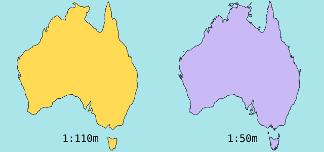
ทำไมขอบเขตและพื้นที่จึงต่างกัน?
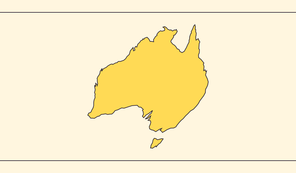
การลดรายละเอียดอาจทำให้อ่าวและเกาะเล็กหายไป เราใช้ขอบเขต Natural Earth ที่มาตราส่วน 1:110 ล้าน และคำนวณพื้นที่จากรูปทรงกลมแบบย่อ สถิติทางการอาจนับน้ำและดินแดนต่างกัน ≈ หมายถึงค่าประมาณ
แผนที่เปลี่ยนอะไร
พรมแดน Natural Earth มาตราส่วน 1:110 ล้านลดรายละเอียดเกาะเล็กและอ่าว การประมาณใช้พื้นที่รูปหลายเหลี่ยมบนทรงกลมและรัศมีเฉลี่ยโลก 6,371.0088 km ตัวเลขทางการอาจรวมแหล่งน้ำหรือดินแดนที่ไม่มีในภาพ
แหล่งข้อมูล: Natural Earth · Dataset scales · World Bank · Land area: definition · World Bank · Surface area: definition · D3 · Spherical area and distance
Sources and further reading
Sources checked:
Related stories
Japan and Germany: a long shape can hide a similar area
An island chain and a compact mainland country look very different. Compare area without confusing the sea between islands with land.
Five questions before sharing a “true world map”
Projection, zoom, viewpoint, source detail and the meaning of area all affect how you read a map. Check these before sharing a comparison screenshot.
Equal Earth รักษาอะไรไว้?
การแผ่ทรงกลมเป็นพื้นราบย่อมเปลี่ยนคุณสมบัติบางอย่าง Equal Earth รักษาสัดส่วนพื้นที่ แต่ไม่ได้รักษารูปร่าง ระยะทาง และทิศทางทั้งหมด รูปร่างบริเวณขอบลูกโลกจะถูกบีบ เลือกมุมมองให้เหมาะกับคำถาม