
邊界和面積為何不同
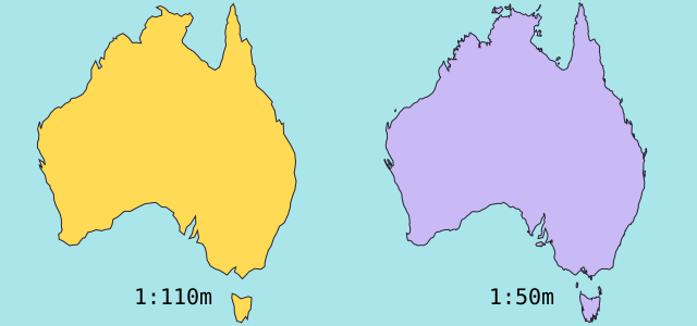
簡化地圖會省略小海灣和島嶼。本地圖使用 Natural Earth 的 1:1.1 億邊界,並根據簡化的球面幾何計算面積。官方統計對水域或領土的定義可能不同。≈ 表示這裡顯示的是估算值。
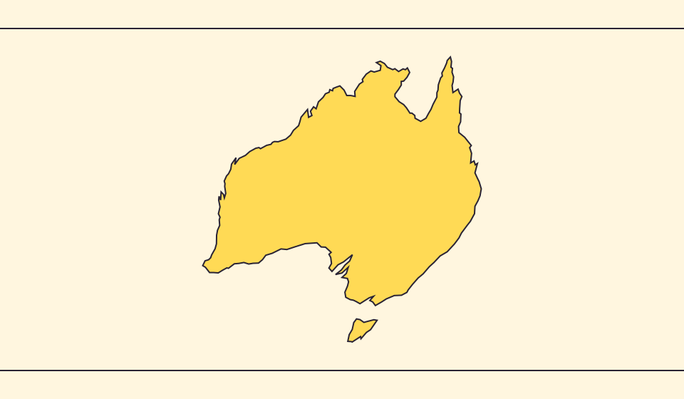
地圖改變了什麼
Natural Earth的1:1.1億邊界簡化了小島與海灣。幾何面積由球面多邊形面積與地球平均半徑6,371.0088 km計算,並非官方統計。統計表與圖形可能對水域、領土採用不同範圍。
來源: Natural Earth · Dataset scales · World Bank · Land area: definition · World Bank · Surface area: definition · D3 · Spherical area and distance
Sources and further reading
Sources checked:
Related stories
Japan and Germany: a long shape can hide a similar area
An island chain and a compact mainland country look very different. Compare area without confusing the sea between islands with land.
Five questions before sharing a “true world map”
Projection, zoom, viewpoint, source detail and the meaning of area all affect how you read a map. Check these before sharing a comparison screenshot.
Equal Earth 保留了什麼
把球面展開成平面必然改變某些特徵。Equal Earth 保留相對面積,適合比較國家大小,但不能同時保留所有形狀、距離和方向。切換到地球儀,觀察邊緣國家的壓縮。根據問題選擇地圖,而不是期待一張地圖解釋一切。